England - Sep18 - Cliffs of Dover
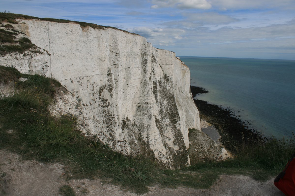
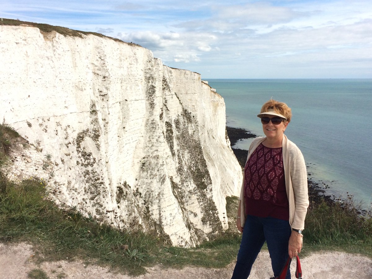
Leaving Canterbury, we drove over to Dover to see the famous cliffs. I knew that you could see France on a clear day but I was stunned by how visible and close France was! I never realized it was this close.
Also, as you can see, Dover has a large port facility with big ferry boats constantly coming and going through that gap in the sea wall.


As we drove by the northern base of Dover Castle, I saw a sign for Bleriot's landing site. Now THAT I wanted to see! For those of you who don't know, the Frenchman Louis Bleriot was the first pilot to fly the English Channel. He flew it in 1909. I had known Bleriot had landed above the Cliffs of Dover but had not thought to include that in our itinerary. So we saw the sign, turned in, parked in a small lot, and walked a quarter mile to this.

"At 4:15 am on the 25 July 1909, watched by an excited crowd, Blériot made a short trial flight in his Type XI, and then, on a signal that the sun had risen (the competition rules required a flight between sunrise and sunset), he took off at 4:41 for the attempted crossing.[26] Flying at approximately 45 mph (72 km/h) and an altitude of about 250 ft (76 m), he set off across the Channel. Not having a compass, Blériot took his course from the Escopette, which was heading for Dover, but he soon overtook the ship. The visibility deteriorated, and he later said, "for more than 10 minutes I was alone, isolated, lost in the midst of the immense sea, and I did not see anything on the horizon or a single ship".[27]
The grey line of the English coast, however, came into sight on his left; the wind had increased, and had blown him to the east of his intended course. Altering course, he followed the line of the coast about a mile offshore until he spotted Charles Fontaine, the correspondent from Le Matin waving a large Tricolour as a signal. Unlike Latham, Blériot had not visited Dover to find a suitable spot to land, and the choice had been made by Fontaine, who had selected a patch of gently sloping land called Northfall Meadow, close to Dover Castle, where there was a low point in the cliffs. Once over land, he circled twice to lose height, and cut his engine at an altitude of about 20 m (66 ft), making a heavy "pancake" landing due to the gusty wind conditions; the undercarriage was damaged and one blade of the propeller was shattered, but Blériot was unhurt. The flight had taken 36 minutes and 30 seconds."

